What is GIS?
Aug 26, 2025
Summary:
GIS stands for Geographic Information Systems.
GIS explores the what, where, when, and who, but has a major strength with analysis of the where that non-spatial data does not.
Learn more:
Have you ever used Google Maps to find the fastest route to a restaurant, or seen a heat map showing COVID-19 cases across your country? If so, you’ve already experienced GIS.
GIS is more than just “digital maps”; it’s a powerful technology that combines location data with information to help us understand the world, solve problems, and make smarter decisions.
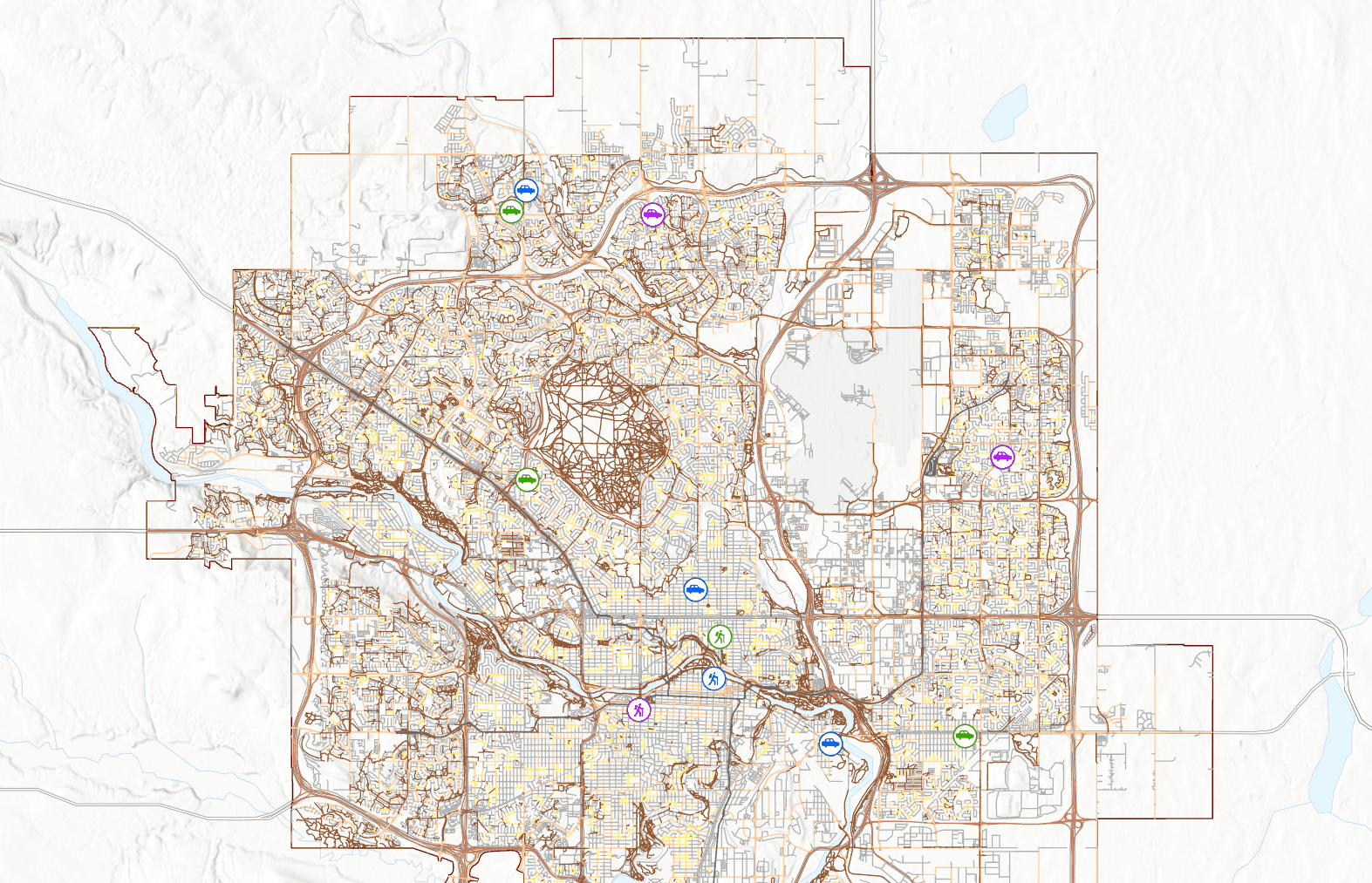
At its core, GIS is a system for capturing, storing, analyzing, and displaying spatial (location-based) data; it’s not just about where things are, but also about what’s happening there. GIS lets you link information to locations on a map and then use that data for decision-making, planning, and analysis; for example, a city planner can use GIS to see where roads are congested, where new schools are needed, and even how a flood might affect certain neighborhoods, all in one interactive map. If you're a numbers person, the best part is this locationally-tied data can be seemlessly exported into spreadsheets to harness the power of spatial data without ever having to look at it on a map.
GIS is becoming smarter and more powerful thanks to artificial intelligence, drones, and real-time data. Modern GIS tools can simulate traffic, monitor global weather patterns, and even power self-driving cars.
We live in a world where everything happens somewhere. GIS turns that “somewhere” into actionable insight. It’s helping us build smarter cities, respond to disasters faster, and make data-driven decisions about our future.
GIS is a powerful framework that many businesses have been slow to adopt. By utilizing GIS capabilities to the fullest, you can get ahead of the competition and make your mark on the industry.
When it comes to maps, X marks the spot. GeoNet Solutions helps you discover where that X is.
Key points about GIS:
Geographic: Focuses on locations, coordinates, and spatial relationships.
Information: Stores and manages data about features (like roads, buildings, or elevation).
System: A combination of software, hardware, data, and people working together.
What you can do with GIS:
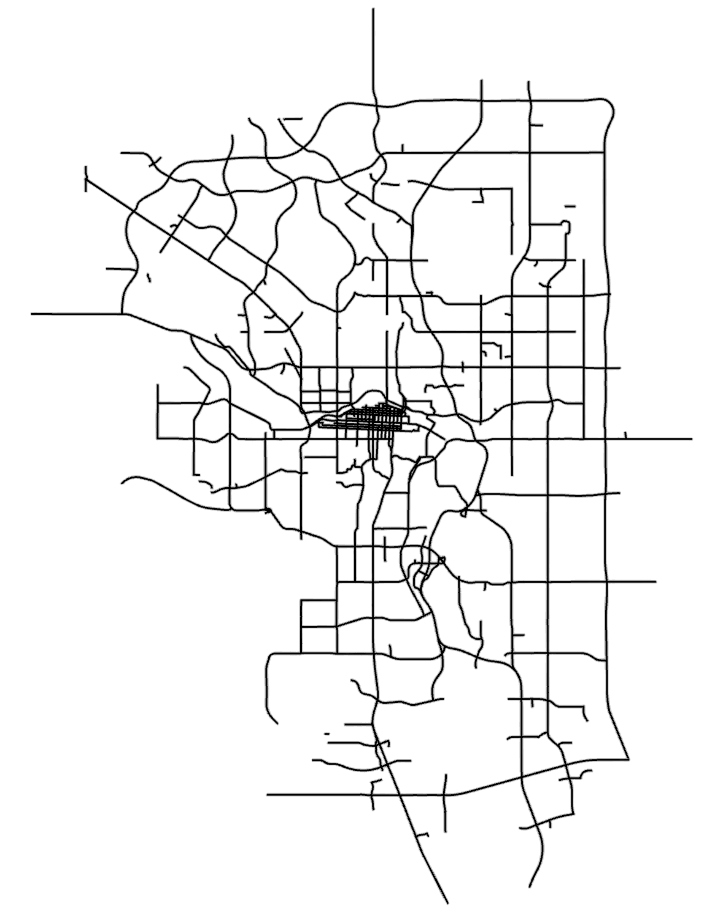
Create and view detailed maps.
Analyze patterns (e.g., where most traffic accidents happen).
Model scenarios (e.g., flood risk zones).
Manage assets (e.g., utilities, transportation networks).